

 Italiano
 English
 Deutsch
 Français

Sassi Neri Beach
Municipality of Capoliveri, Elba Island
Photos of Sassi Neri Beach
What Sassi Neri Beach is like
The Sassi Neri cove lies on the eastern coast of the Capoliveri promontory, along the Costa dei Gabbiani between Straccoligno and Ginevro. Rather than one beach, it is a group of three tiny coves of dark gravel, each a few metres long, formed largely from the waste of the old Sassi Neri mine, one of the three iron mines of Monte Calamita. Behind them, the magnetite shaft abandoned in the 1980s filled with water, creating a small lake.
Getting there
It is one of Capoliveri's hardest beaches to reach, so it sees few visitors. The easiest way is by sea, by kayak or boat, starting for example from Calanova. On land the route follows the private road of the Costa dei Gabbiani holiday village and ends on a rough path: sources disagree on whether you can pass without a permit, so check first. On foot, start from the paid car park at Calanova, reached from Capoliveri via the signs for Straccoligno.
Which wind to go with
The coast faces east and is exposed to easterly winds: with levante (east wind) and grecale (north-east wind) the sea gets up and landing a kayak is not advisable. Calm days are best.
Facilities and tips
There are no facilities: bring water, food, shade and water shoes. The seabed of dark gravel and rocks is good for snorkelling. Mining here stopped around 1980: to learn more, book a guided tour of the Ginevro mine, the only underground mine open to visitors on the island, starting from the Old Workshop Museum.
Beach factsheet
Where it is and how to reach it
Straight-line distances: the road route is longer.
Where to stay near Sassi Neri Beach
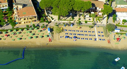 2.8 km
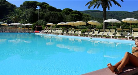 2.8 km
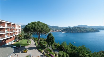 3.3 km
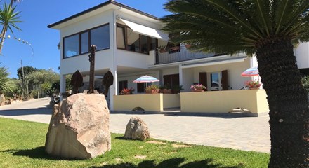 3.3 km
Straight-line distances from the beach: properties are listed from the closest.