

 Italiano
 English
 Deutsch
 Français

Lamaia Beach
Municipality of Marciana, Elba Island
Photos of Lamaia Beach
What Lamaia Beach is like
Lamaia is a small cove on the north coast, between Biodola and Procchio, about sixty metres long and tucked into a little valley covered in vegetation. The bottom is light sand and pebbles, often with dry posidonia washed up by the waves, and cliffs drop into the sea on both sides. No buildings can be seen from the beach: it is one of the quietest corners of this stretch of coast.
Getting there
You can only reach it on foot or from the sea. The easiest route starts from Biodola beach, where you leave the car: follow the Sentiero della Salute, an easy trail close to the sea that passes through a Second World War tunnel and along a short stretch over the rocks. Alternatively, trail 245 starts from the Portoferraio–Procchio provincial road; it is scenic but long and fairly demanding. Continuing about 300 metres beyond Lamaia you reach the cove of Porticciolo and then Procchio.
Which wind to go with
It is a good choice with the east wind, the sirocco and the libeccio (south-west wind), when this north-facing cove stays calm.
Facilities and tips
There are no facilities of any kind: bring water, food and an umbrella, and wear proper shoes for the trail, not flip-flops. The surrounding vegetation puts it in the shade from early afternoon, so it is best to arrive in the morning. The cliffs on either side are good for snorkelling; the seabed drops off quickly, something to bear in mind with children.
Beach factsheet
Where it is and how to reach it
Straight-line distances: the road route is longer.
Where to stay near Lamaia Beach
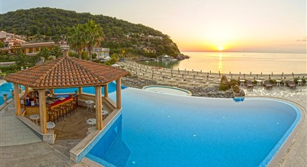 0.4 km
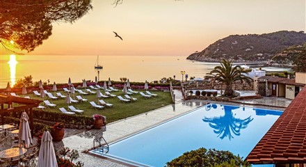 0.7 km
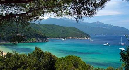 0.9 km
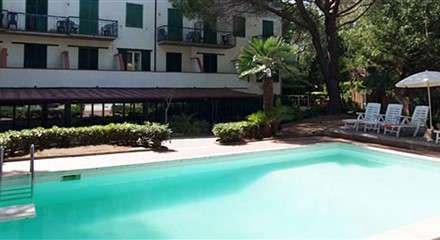 1.2 km
Straight-line distances from the beach: properties are listed from the closest.