

 Italiano
 English
 Deutsch
 Français

Capo Perla Beach
Municipality of Capoliveri, Elba Island
Photos of Capo Perla Beach
What Capo Perla Beach is like
Capo Perla beach is a small, east-facing cove hidden in the Mediterranean scrub on the headland that closes the Porto Azzurro gulf to the south, in the municipality of Capoliveri, just beyond Naregno. It is only a few dozen metres long, made of small stones mixed with sand, with patches covered in dried posidonia. Above it stands Forte Focardo, a Spanish fortification built in 1678, which today houses the Italian Navy lighthouse.
Getting there
From Capoliveri, follow the signs for Capo Perla for about 2 km to a fork, turn left and continue another 600 metres to a second junction; leave the car at the roadside. From there, walk about a hundred metres and take the gravel road on the right heading towards Forte Focardo: a flight of stone steps on the right, or a path through the vegetation, leads down to the beach in a few minutes.
Which wind to go with
The Capo Perla headland shields it from most winds: the cove is protected from the north and south and is recommended with the tramontana (north wind), the mistral, westerlies and the libeccio (south-west wind). Only easterly winds blow straight into the bay.
Facilities and tips
There are no facilities: this is a free, quiet beach, so bring water, an umbrella and water shoes for the stones. The rocky seabed at either side is interesting for snorkelling. The fort is used by the Italian Navy, but its bulk is best admired from the beach and from the water.
Beach factsheet
Where it is and how to reach it
Straight-line distances: the road route is longer.
Where to stay near Capo Perla Beach
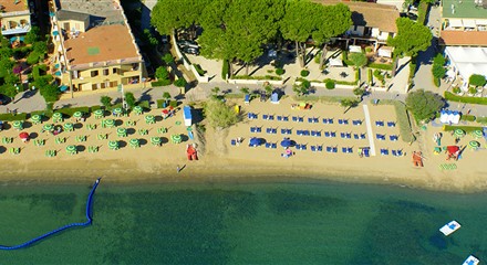 0.8 km
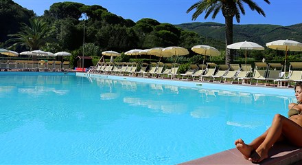 0.8 km
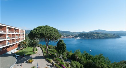 1.3 km
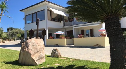 2.0 km
Straight-line distances from the beach: properties are listed from the closest.